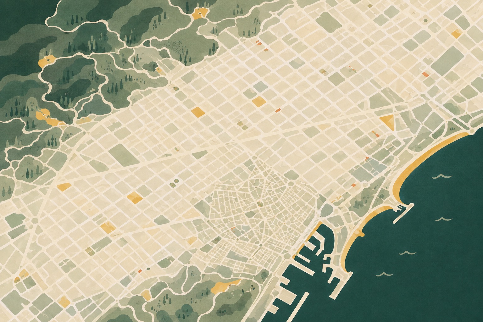
Map of Gaudí’s works in Barcelona
Gaudí’s major works are spread across several parts of Barcelona. Casa Batlló and Casa Milà sit close together, while Park Güell and Sagrada Família need deliberate transport planning.
Use the map to understand the city before fixing ticket times and building your itinerary.
Which Gaudí works are close together?
Barcelona’s Gaudí landmarks form a few useful clusters. Thinking in areas prevents unnecessary cross-city journeys and leaves more time inside the buildings.
Passeig de Gràcia
Casa Batlló and Casa Milà are the easiest major Gaudí landmarks to combine. They are on the same avenue and can be walked between comfortably.
Compare Casa Batlló and Casa Milà →Gràcia
Casa Vicens sits in the Gràcia street grid, southwest of Park Güell. They work well in the same part of a day, but the route to the park climbs and needs realistic time.
Plan a Casa Vicens visit →Sagrada Família and Park Güell
These two headline landmarks are often paired, but they are not next to each other. Park Güell lies further north and uphill; use public transport or a taxi and leave a useful buffer between timed entries.
See the two-landmark itinerary →Old city
Palau Güell is south of the other main works, just off La Rambla. Give it an old-city context rather than forcing it between northern attractions.
Read the Palau Güell guide →Planning a Gaudí day from the map
For many first-time visitors, a workable geographic flow is Sagrada Família, then Park Güell, followed by one Passeig de Gràcia house. The fixed entry times must still lead the final order.
Do not copy the map into an overfilled checklist. The complete itinerary includes travel buffers, meal timing and alternatives for a slower day.